
Wales Coast Path Shop
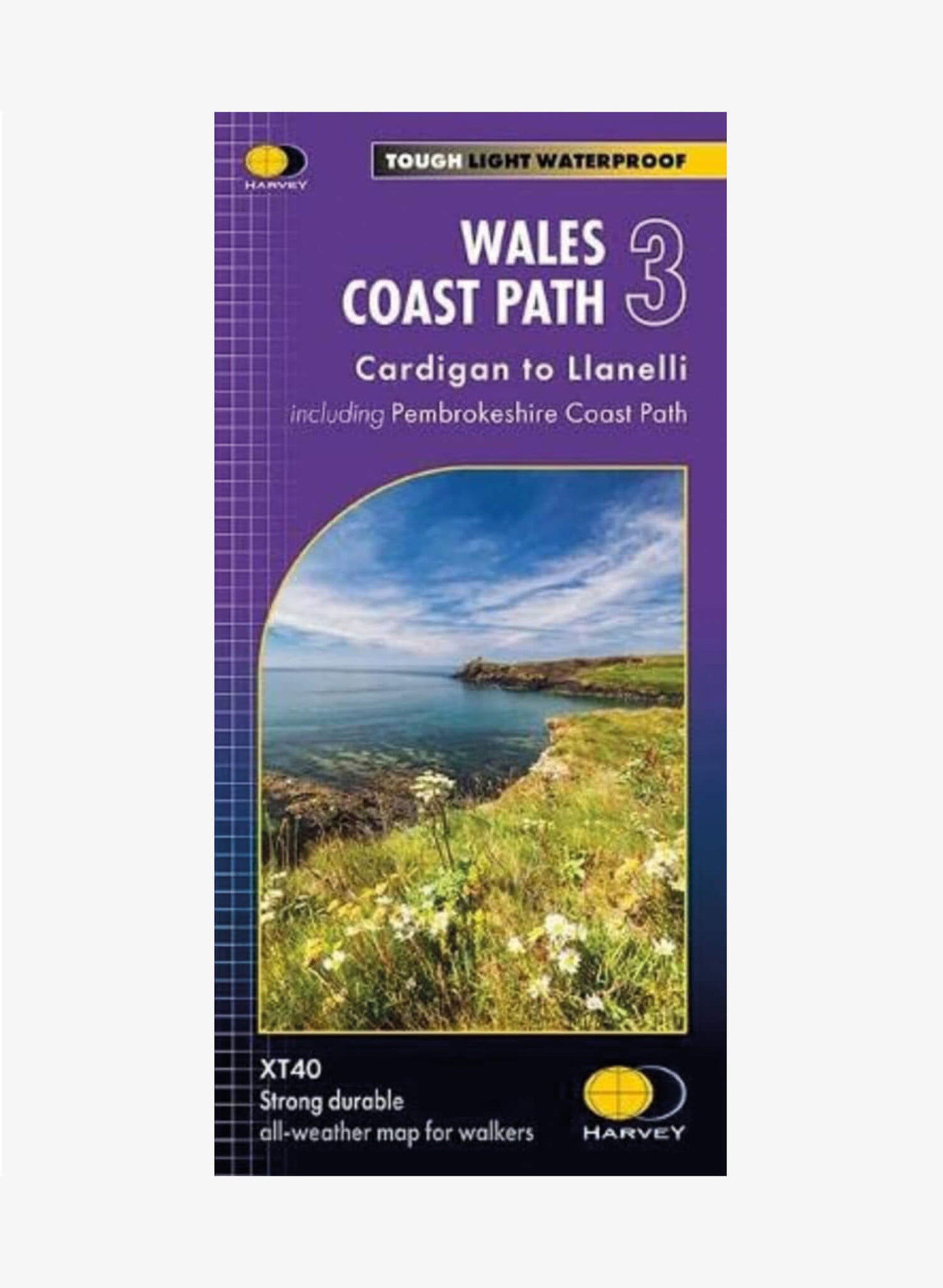
Wales Coast Path Trail Map 3 - Cardigan to Llanelli - Harvey Maps
Wales Coast Path Trail Map 3 - Cardigan to Llanelli - Harvey Maps
Couldn't load pickup availability
The Wales Coast Path is a breathtaking 870-mile trail that hugs the Welsh coastline. The entire route is covered by 4 maps, each featuring a section of the path suitable for about 2 weeks of walking. Map 3 covers the 248 miles (398km) from Cardigan to Llanelli. This lightweight and 100% waterproof map is perfect for planning your route.
- Strong, Durable and Lightweight: Weighs less than 75g ensuring you travel light.
- 100% Waterproof: Stay on track, rain or shine.
- Exceptionally Clear and Easy to Read: The route is marked clearly in red.
- Comprehensive Information: Includes facilities, services and key information along the route.
- Planning and Travel Tips: Offers advice on accommodation, useful contacts and travel tips.
- Covers the Route from Cardigan to Llanelli.
- 1: 40,000 Scale.
- Language: English
With its clearly marked route, this map is the perfect guide to navigate the Wales Coast Path from Cardigan to Llanelli and help you make the most of your time exploring this beautiful coastline.
Shipping & Returns
Shipping & Returns
Processing Time
Orders are processed within 1–3 business days.
UK Shipping
All orders are shipped by Royal Mail Tracked 48. Estimated delivery time: 2-3 working days.
Up to £50: £4.50
£50 and over: FREE
International Shipping
All international orders are sent International Tracked. Prices are calculated at checkout based on weight.
Estimated Delivery Time - Europe: 3-5 working days
Estimated Delivery Time - Worldwide: 5-10 working days
Taxes & Duties
Orders shipped outside the UK may incur import taxes, customs duties, and fees charged by the destination country. These costs are the customer’s responsibility and are not included in our product prices or shipping charges.
Returns
Please contact us within 14 days of purchase to arrange a return or refund. If you product is faulty please contact us within 30 days of purchase.
Personalised Products. We are unable to replace or refund personalised products, unless the garment is faulty. Please double check your size, and the spelling of your personalisation before completing your purchase.
Customer Support
We’re here to help. For questions about shipping, orders, or returns, contact us at stores@promotionalwarehouse.co.uk
Handy map if you just want the coastal path
Hi Emma
Thank you for your review. Hope you find the map useful. Enjoy your walk along this beautiful section of the Wales Coast Path.
Kind Regards
Darren
Customer Support Team